Site survey and water sample collection at Rangsit District.
- Survey member:
- Honda, Furumai, Katayama, Masago, Chaminda, Tobino, researchers from Kasetsart University
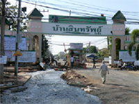 Surveyed in Rangsit area, Pathum Thani Province. In overall, flood was reduced in this area. However, in many places water was still remained.
The survey sites and water quality information (Coliforms, ammonia concentration: indicators for fecal
contamination) can be viewed on above map.
※When clicking a marker on a survey site, the pictures of the survey site can be visualized. If an item of water quality appeared in the list box at the bottom left of the map is selected, then click at “Show” button, the page will jump to water quality information at the selected site. And when clicking a symbol inside the map in the water quality information page, the results of water quality analysis at the site will be shown.
Attempt was performed with pumps to drain water from along-side-canal residential areas to the canals. A commercial area near Future Park was restored after water was dried off. Interviewing residents in this area suggests that concrete walls builted around their houses could not complete protect water seepage from outside.
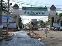
Flood drain from residential area by pumps.
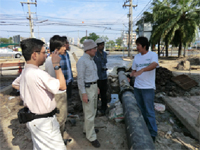
Explanation from persons in charge.
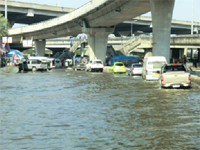
Near Future Park
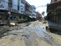
Commercial area near Future Park

Point A

Point B


