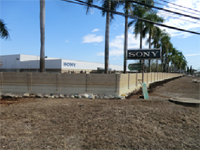
Site survey and water sample collection near Bang Kadi Industrial Estate.
- Survey member:
- Honda, Watanabe, Tobino, Kasetsart University students, Jatuwat
 Visited areas around Bang Kadi Industrial Estate. There are many Japanese companies here. Estimating
from water stain, water level during the flood time reached more than 2 meters in depth.
The survey sites and water quality information (Coliforms, ammonia concentration: indicators for fecal
contamination) can be viewed on above map.
※When clicking a marker on a survey site, the pictures of the survey site can be visualized. If an item of water quality appeared in the list box at the bottom left of the map is selected, then click at “Show” button, the page will jump to water quality information at the selected site. And when clicking a symbol inside the map in the water quality information page, the results of water quality analysis at the site will be shown.
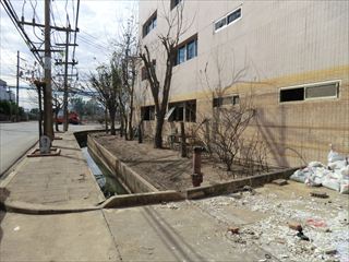
The water was completely reduced. But estimating from water stain, the 1st floor was completely flooded. Some factories were doing clean up. However, it can be seen that recovering from a flood will take time.
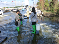
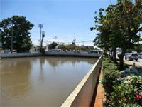
In addition, in order to observe a change in water quality along the time, water samples were collected from the same point on 5 December 2011(Point A on above map) and from another 2 sampling points.

Floodwater stain at Bang Kadi Industrial Estate.

The 1st floor was completely flooded.

Point A

Point B

Point C


